 ★
Map Earth Process Effects
Grade 4 Science Worksheet - Challenge Me

NameDate
Circle the answer.
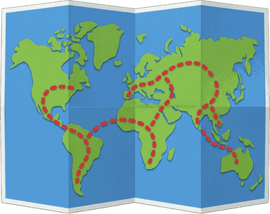
Look at the picture. A glacier once carved the land at A. What would you expect to see there?
- sand dunes on a plain
- a wide valley between mountains
- an island in the ocean
- a delta at the coast
Why are maps of Earth's features more useful than one photo of a place?
- maps show where features are over a large area, so patterns appear
- maps show only one small spot
- maps show what each rock is made of
- maps show how features will change tomorrow
Maps show most earthquakes in the United States happen in the West. Which plan fits this pattern?
- stricter earthquake building rules in western states
- no rules, because quakes cannot be mapped
- stricter earthquake rules only in the East
- the same rules everywhere, because quakes are random
On a world map, Japan has many earthquakes and volcanoes. Where is Japan?
- far from any ocean
- in the center of a continent
- in the middle of a large desert
- on the edge of the Pacific Ocean