

PencilGo

Grade 2 · Social Studies · Geography

2nd Grade U.S. States and Where Ours Is worksheets

6 printable versionsOn LevelAbout 3 minutes eachFree · no account

When it’s done, scan the sheet with your phone and PencilGo marks it and picks the next one. Create a free account

★
Version
Print

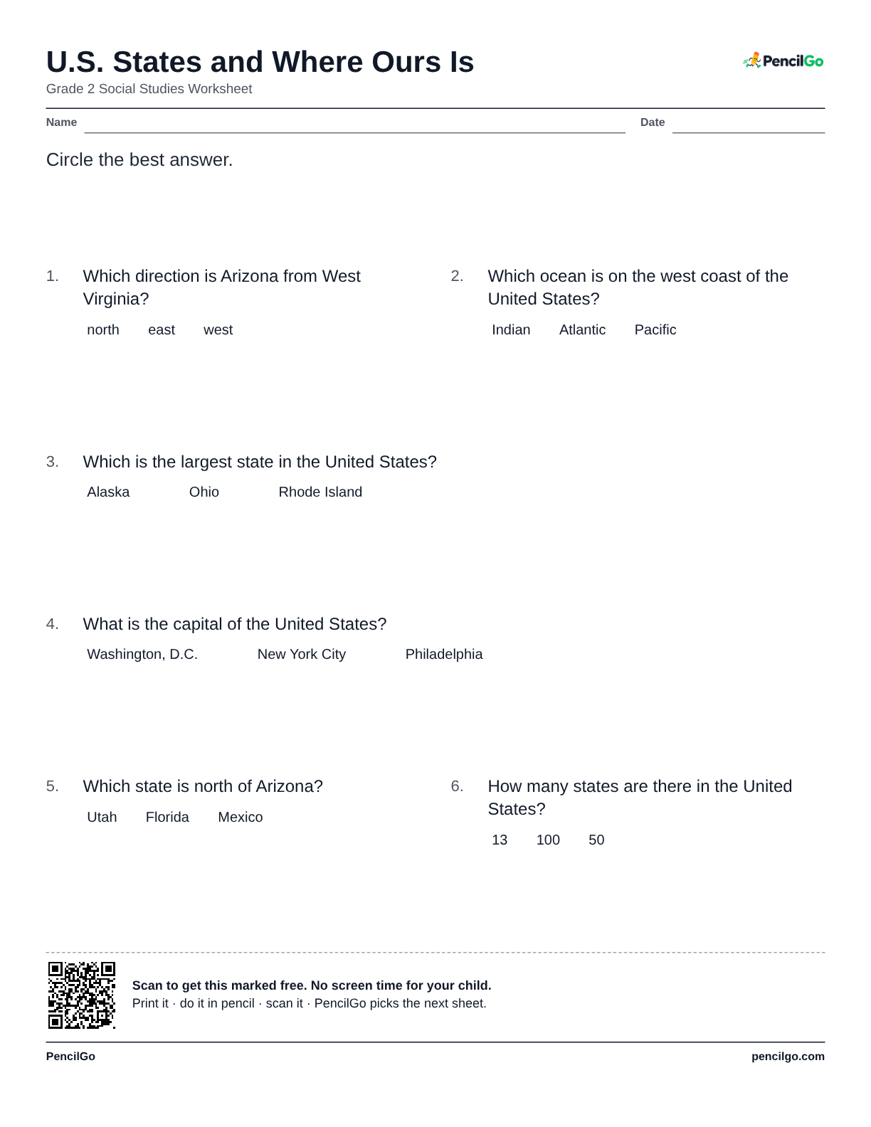
U.S. States and Where Ours Is

Grade 2 Social Studies Worksheet

NameDate

Circle the best answer.

  1. Which direction is Arizona from West Virginia?

    • north
    • east
    • west
  2. Which ocean is on the west coast of the United States?

    • Indian
    • Atlantic
    • Pacific
  3. Which is the largest state in the United States?

    • Alaska
    • Ohio
    • Rhode Island
  4. What is the capital of the United States?

    • Washington, D.C.
    • New York City
    • Philadelphia
  5. Which state is north of Arizona?

    • Utah
    • Florida
    • Mexico
  6. How many states are there in the United States?

    • 13
    • 100
    • 50
PencilGopencilgo.com

2nd Grade U.S. States and Where Ours Is worksheet 1 – printable PDF
Download PDF: 123456

About this worksheet

The United States has fifty states, and each one has its own capital city. Forty-eight of them are joined together, and Alaska and Hawaii are separate: Alaska is far to the north, and Hawaii is a chain of islands in the Pacific Ocean. The Atlantic Ocean is on the east coast and the Pacific Ocean is on the west. Canada is the country to the north and Mexico is the country to the south.

Every state touches some of its neighbors. Arizona is in the southwest and touches California, Nevada, Utah and New Mexico. West Virginia is in the east and touches Ohio, Pennsylvania, Maryland, Virginia and Kentucky. This worksheet gives six questions about the states, the oceans and the states next to ours. Ask your child to find our state on a map and name its neighbors.

What your child will learn

  • Know that the United States has fifty states
  • Find your state and its neighbors on a map
  • Name the oceans and countries that border the United States

C3 Framework standard: D2.Geo.3.K-2

Worked example

The Atlantic Ocean is on the east side of the United States, and the Pacific Ocean is on the west side.

Common mistake

Putting the Atlantic on the west coast, or the Pacific on the east.

Helpful hint

Picture the map of the United States. Where is the place in the question?

Questions parents ask

What is the most common mistake with u.s. states and where ours is?

Putting the Atlantic on the west coast, or the Pacific on the east.

How can I help my child with u.s. states and where ours is?

Picture the map of the United States. Where is the place in the question?

Are these 2nd grade social studies worksheets free to print?

Yes. All 6 printable versions on this page are free to download and print, with no account needed.

Similar: Map Symbols and Keys · Landforms and Bodies of Water

More 2nd grade geography

See all geography

Every sheet you scan goes into your child’s record: dated, marked and ready for the year-end portfolio. Homeschool records